USDA Forest Service, NatureServe
Biodiversity Importance
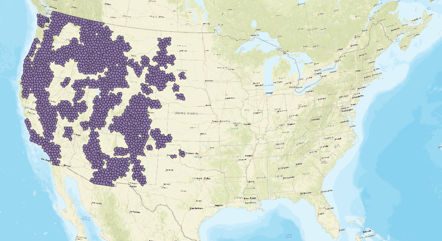
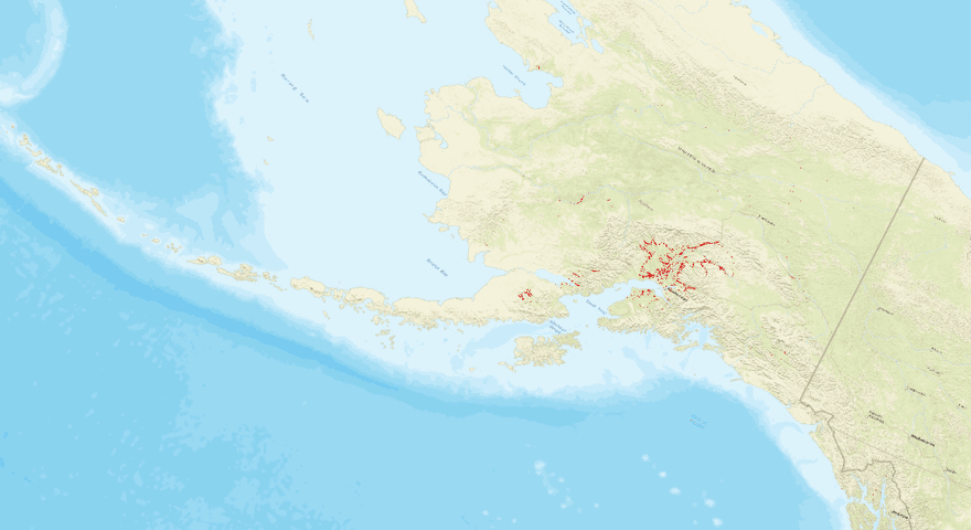
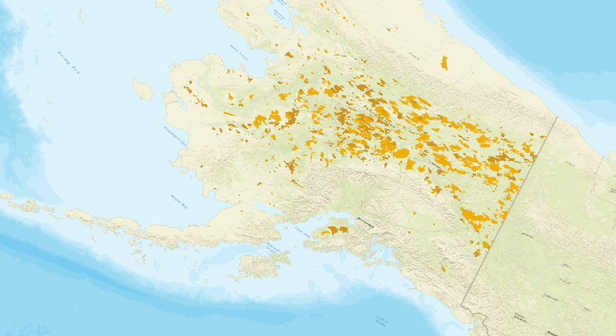
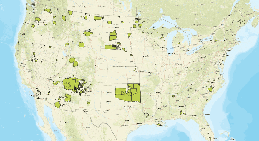
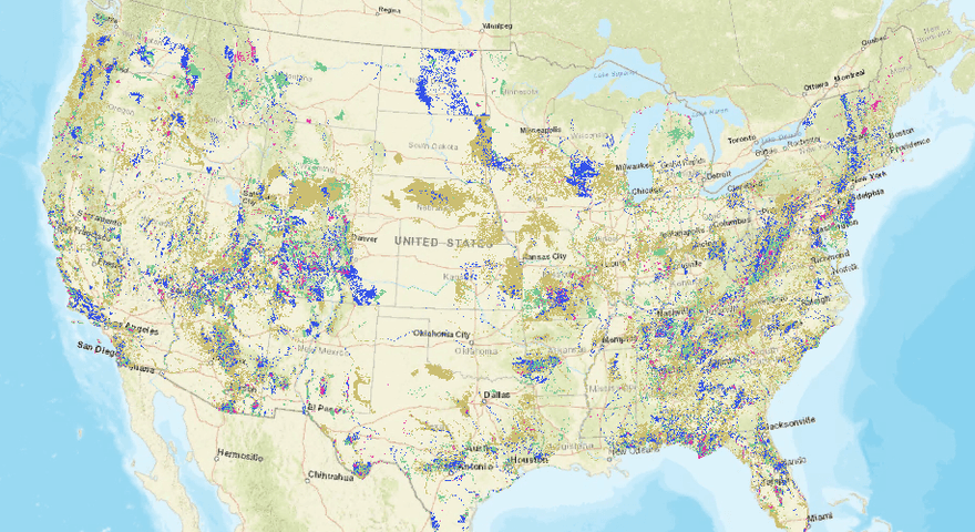
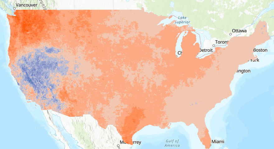
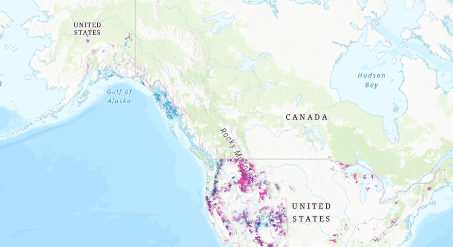
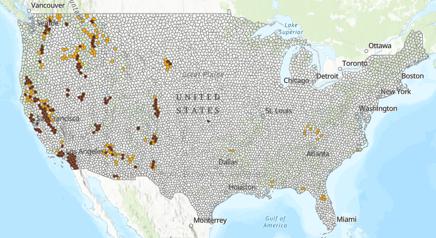
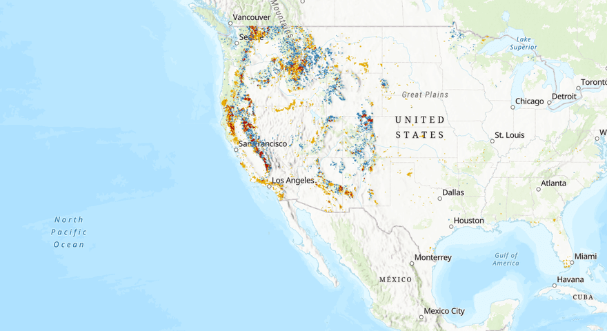
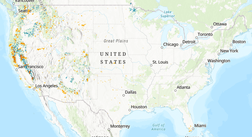
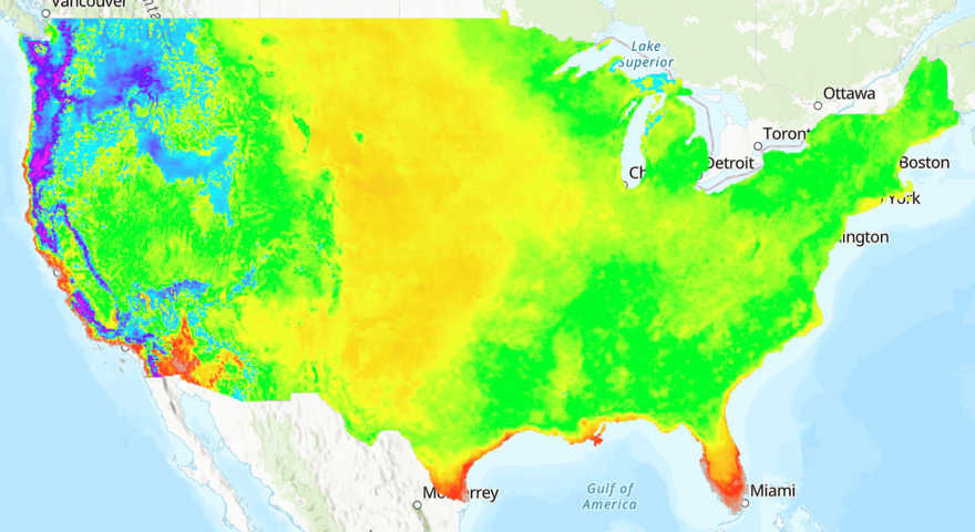
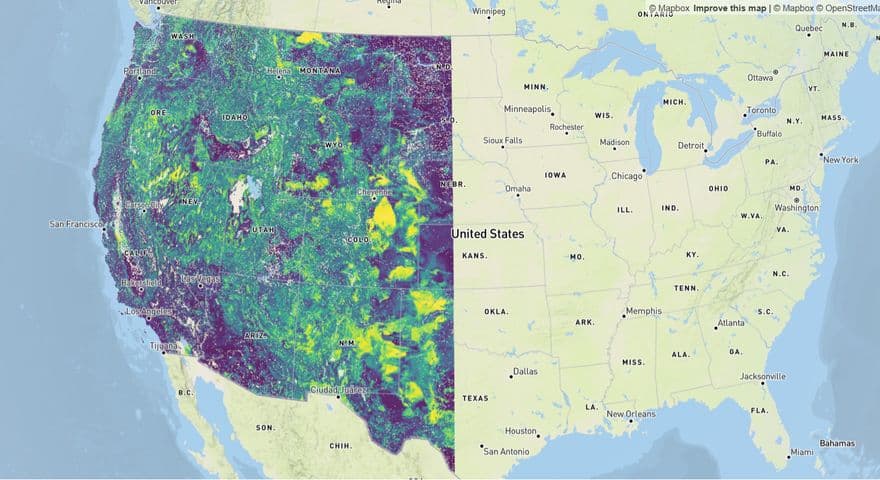
This dataset is the USDA Forest Service's hosted copy of NatureServe's Map of Biodiversity Importance, which displays richness of at-risk species outside of existing protected areas using modeled distributions for 2,216 of the most imperiled plants and animals in the United States, with this particular layer showing values in the 75–99 percentile range, essentially isolating the highest-priority areas. This matters for forests because forests host a huge share of the country's imperiled species habitat, and this map was built from habitat models for species listed as Endangered or Threatened under the Endangered Species Act, or identified by NatureServe as Critically Imperiled or Imperiled, so it flags exactly which forested landscapes are quietly holding some of the nation's rarest, most at-risk biodiversity. The underlying models draw on nearly 50 years of standardized biodiversity inventory... provided by the NatureServe Network, meaning the data reflects decades of real, field-collected occurrence records rather than a purely theoretical projection. It's also a genuinely collaborative, technically ambitious product, developed by NatureServe with partners from Esri, The Nature Conservancy, and the NatureServe Network, and covers a comprehensive set of habitat models... for vertebrates, freshwater invertebrates, pollinators, and plants, giving it unusually broad taxonomic coverage compared to older biodiversity maps that focused mainly on birds and mammals. For forest managers, this makes the dataset a practical screening tool for spotting exactly where forest land overlaps with concentrations of rare species that current protections may not yet cover, directly informing where conservation, restoration, or land-use decisions could have an outsized impact on preventing extinctions.